 |
 |
 |
 |
 |
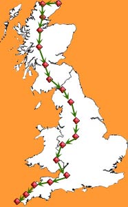
Stage
10:
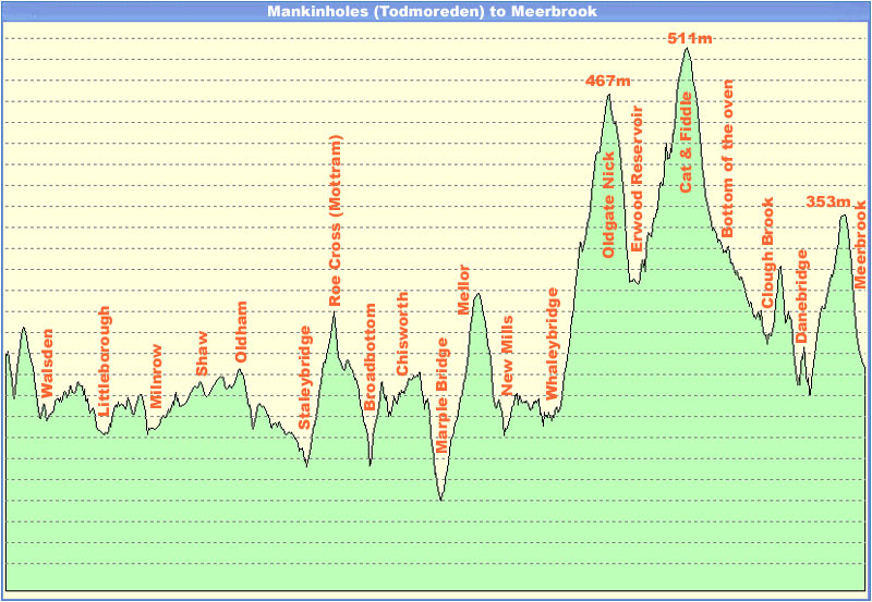
Todmoreden to Meerbrook. 62.8 miles.
|
|
|
| 0 | 6 | 6 | 2 |
 |
 |
|
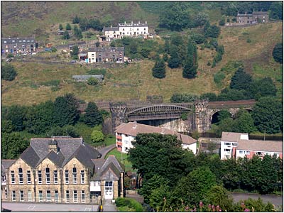
Todmoredon
|
Todmoredon
|
 |
It
was going to be lumpy today. We pondered going off-road across the Penine
Way, but being Sunday we thought we'd try the main roads, and found them
to be very quiet. In fact the B roads were much busier with people out and
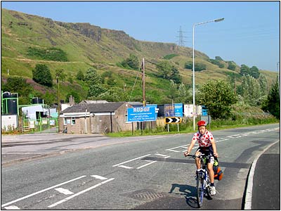
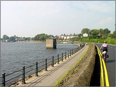
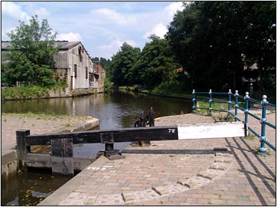
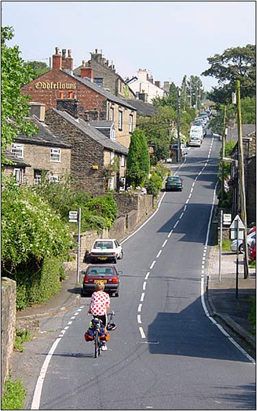
about visiting the attractions. The weather dawned fine, and it rapidly became very warm! It was a great descent from Makinholes with superb views. We took the A6033 to Littleborough and then followed the B road through to Milnrow via Hollingworth Lake, which was a very popular spot, with some good shops turning out nice sandwiches. We continued through Oldham, and Ashton Under Lyme, and descended to Stalybridge where we found a nice spot by the canal for luch. Looking at the map the canal towpath would have been an ideal flat route for our destination, but cycling was not permitted, so we had to take a long climb out of Staleybridge to Broadbottom. |
|
Leaving
Todmoredon
|
|
 |
 |
|
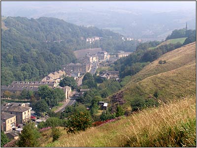
Hollingworth Lake
|
Stalybridge
|
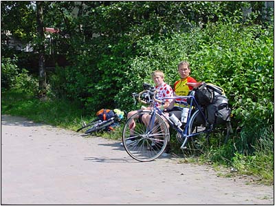 Picnic at Staleybridge. 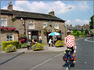 Devonshire Arms, near Marple Bridge |
 |
|
 
|
|
 |
 |
 |
 |
 |