 |
 |
 |
 |
 |
|
|
|
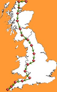
| 0 | 1 | 7 | 4 |
 |
We
descended down to the Moray Firth, with familiar views of the oil platforms
we had seen on the way up on the train. We attempted to avoid the main
road to Dingwall, but somehow ended up back on it.
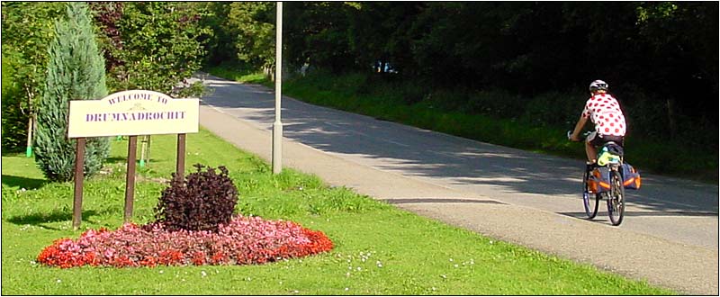
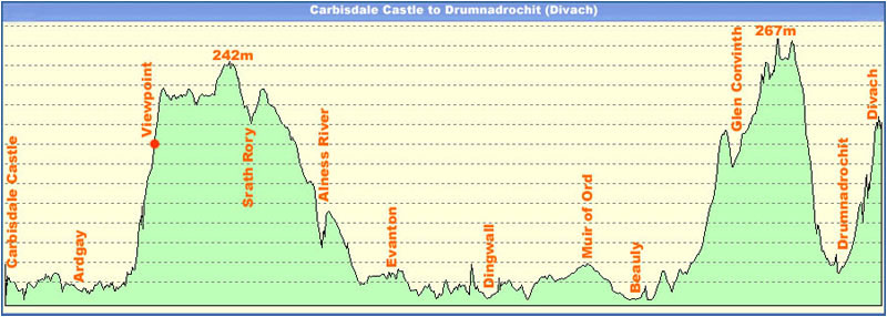
By now the weather had got very hot again, so we aimed for the Tesco's store to sock up with fruit, drinks and Ice creams. After this we had quite a few miles of fairly level riding, through Muir of Ord and Beauly, with some fine distant views of mountains, before the long gradual climb , and then a final rapid descent to Drumnadrochit. Unfortunately Divach is at the top of the waterfalls behind the village, so after getting our brevet sheet stamped at the Nessie souvenir shop, it was a 500ft climb back up the hill to the place where we were staying. |
|
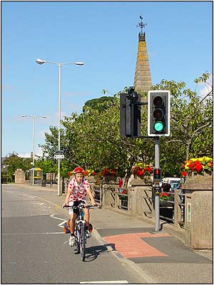
Dingwall.
|
 |
 |
|
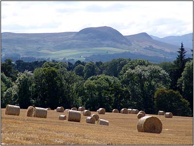
Distant
views from near Beauly.
|
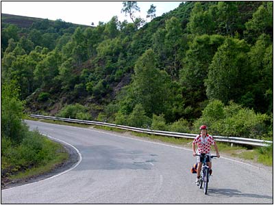
Final
climb before Drumnadrochit.
|
|
|
|
|
|
 |
 |
 |
 |
 |